How do geologists measure volcanic eruptions?
1 Answer
Geologists can use a variety of equipment to measure several aspects, such as its size compared to other eruptions, the gasses it produces, and the amount of lava the volcano emits.
Explanation:
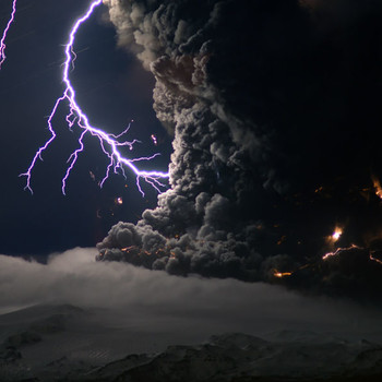
One key tool that geologists use is the Volcano Explosivity Index (VEI), a scale that rates volcanic eruptions based on certain criteria. It starts at 0 and goes all the way to 8. By measuring the amount of erupted tephra (rock particles ejected during an eruption) and the height of the volcanic plume, geologists can accurately pinpoint its VEI.
Other instruments are used to pinpoint the details on volcanic eruptions. Infrared cameras, satellite imagery, GPS systems (they measure ground deformation), and cameras are just some of the equipment that a geologist can utilize. To measure the amount of lava flow from an eruption, geologists can use an EM-31 or a VLF, which emit frequencies that other equipment can pick up on and analyze.
Finally, geologists pay close attention to the gases produced by volcanic eruptions as they contain valuable information on what conditions the rocks and minerals are being exposed to. Using instruments like a COSPEC, geologists can perform both remote and direct sampling. Others use LIDAR balloons, a TOMS (Total Ozone Mapping Spectrometer), or an AVHRR (Advanced Very High Resolution Radiometer) to track the aerosols and sulfur dioxide produced.
Want to know more? Take a look at my sources:
http://volcano.oregonstate.edu/what-tools-do-volcanologists-use-study-volcanoes
http://volcano.oregonstate.edu/book/export/html/168
https://geology.com/stories/13/volcanic-explosivity-index/
Hope this helped you!
